
Upper White River Watershed Management Plan Arkansas
Cleaner Water Together
The finalized Watershed Management Plan is expected in summer of 2025!
H2Ozarks Upper White River
Watershed Management PLAN
The
Upper White River Watershed Management Plan (WMP)
is a comprehensive approach to managing and protecting the water quality and natural resources of the Upper White River watershed in Northwest Arkansas. We are developing this plan to address the unique environmental challenges of the region, which includes
Beaver Lake, the White River, West Fork White River, War Eagle Creek, Kings River, and Long Creek.
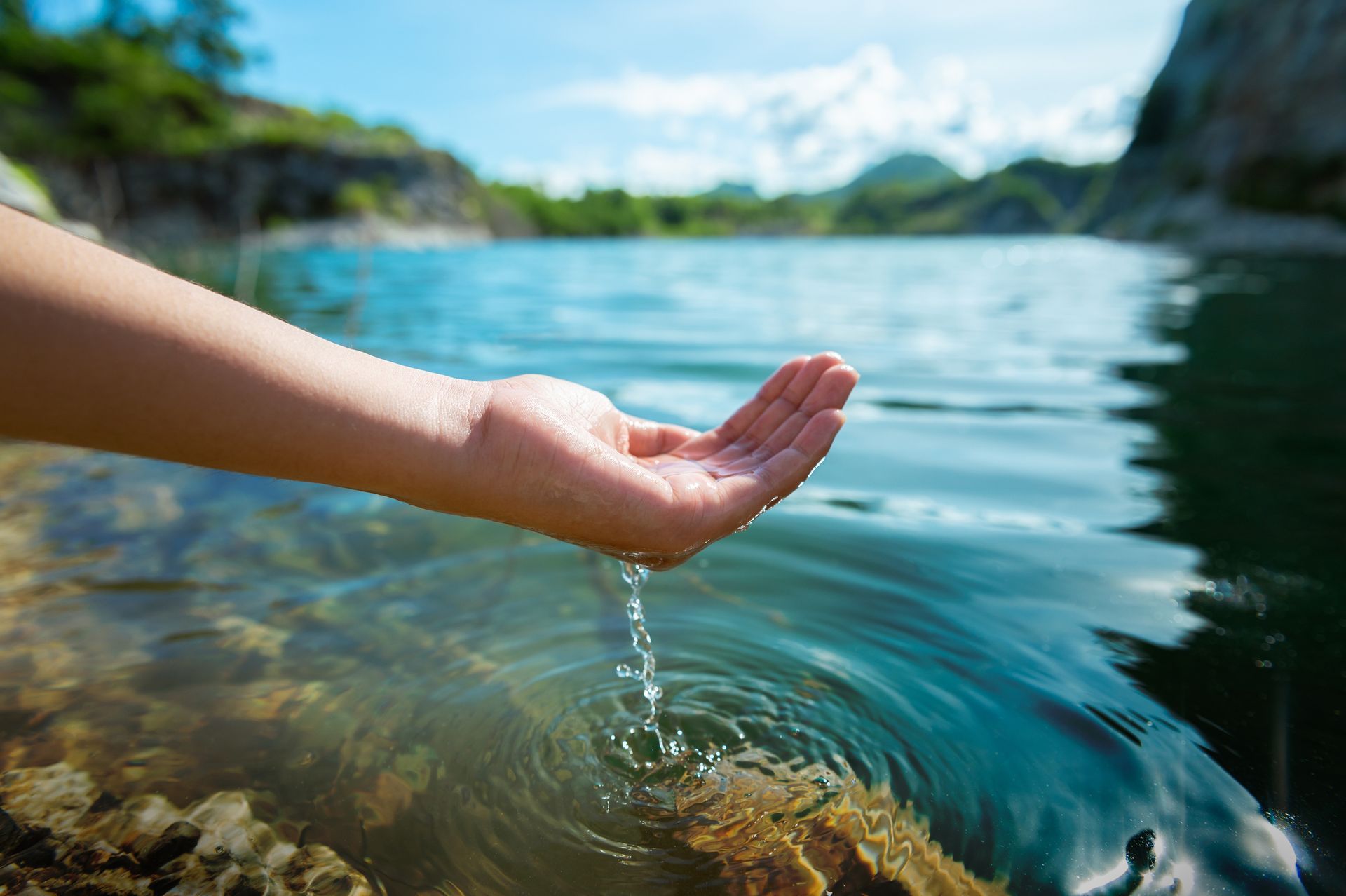
Our aim is to improve water quality, mitigate pollution sources, and promote sustainable land and water management practices.
Check out our progress!
While the final plan is anticipated in summer of 2025, our draft of the Upper White River Watershed Management Plan draft is available to view. Check it out below!
Why create a management plan for the Upper White River watershed?
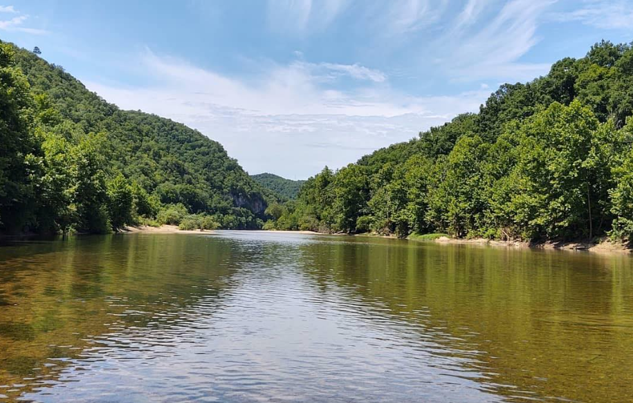
The Upper White River watershed (HUC8 11010001) is a vital natural resource located in Northwest Arkansas. The watershed encompasses the drinking water supply for over 500,000 people from Beaver Lake, Extraordinary Resource Waters and Natural and Scenic Waterway designated Kings River, and Ecologically Sensitive Waterbody designated White River along with several seeps and springs. The watershed provides drinking water, supports local agriculture, and serves as a key cultural, recreational, and ecological asset in the most rapidly growing area of the state.
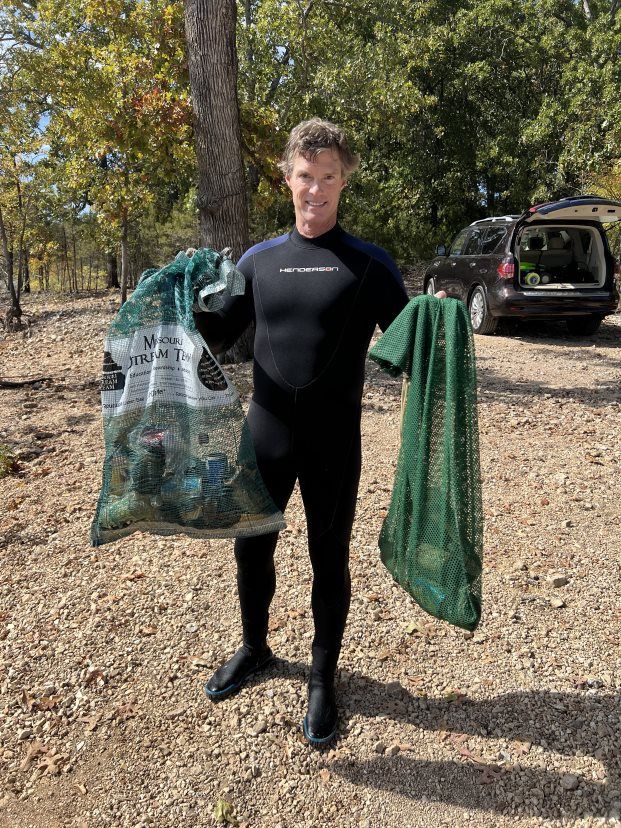
Recognizing its significance, the watershed has been designated as a priority in the Arkansas 2024-2029 Nonpoint Source Priority Watersheds list. With its rich biodiversity, scenic landscapes, and vital water supply, the health of this watershed directly impacts the quality of life for residents and visitors alike. However, the watershed faces increasing pressures from urban development, land use changes, and nutrient and sediment pollution, making its protection a critical priority.
Upper White River Draft
Watershed Management Plan
WaterShed Management Plan Draft
thisClick the dropdown to see expanded lists and download materials
1.0 Introduction
Download Section 1.0Sections in 1.0 Introduction:
- 1.1 Plan Need & Mission
- 1.2 Watershed Vision
- 1.3 Process
- 1.4 Document Overview
Click to download 1.0 Introduction
2.0 Watershed Description
Download Section 2.0Sections in 2.0 Watershed Description:
2.1 Geography
2.2 Socioeconomics
- 2.2.1 Population
- 2.2.2 Economics
2.3 Ecoregions
- 2.3.1 Climate
- 2.3.2 Geology
- 2.3.3 Topography
- 2.3.4 Soils
- 2.3.5 Land Use/ Land Cover
2.4 Water Resources
- 2.4.1 Surface Water
- 2.4.2 Groundwater
- 2.4.3 Interaction between surface water and groundwater
2.5 Wildlife Resources
- 2.5.1 Protected SPecies
- 2.5.2 Species of Greatest Conservation Need
- 2.5.3 Nuisance Species
- 2.5.4 Sensitive Areas
3.0 Watershed Assessment
Download Section 3.0Sections in 3.0 Watershed Assessment:
3.1 Surface Water Quality
- 3.1.1 Surface Water Quality Standards
- 3.1.2 Current Surface Water Quality Monitoring
- 3.1.3 Summary of Current Surface Water Quality
- 3.1.4 Assessed Water Quality Impairments
- 3.1.5 Delisted Impaired Assessment Units
- 3.1.6 Water Quality Trends
- 3.1.7 Pollutant Loads
- 3.1.8 Summary
- 3.1.9 Data Gaps
3.2 Groundwater Quality
- 3.2.1 Groundwater Quality Standards
- 3.2.2 Current Groundwater Quality Monitoring
- 3.2.3 Groundwater Quality Summary
- 3.2.4 Summary
- 3.2.5 Data Gaps
3.3 Ecological Condition
- 3.3.1 Hydrology
- 3.3.2 Geomorphology
- 3.3.3 Aquatic Habitat
- 3.3.4 Aquatic Communities
- 3.3.5 Watershed Integrity
- 3.3.6 Summary
- 3.3.7 Data Gaps
3.4 Nonpoint Sources of Pollutants Causing Impairments
- 3.4.1 Runoff from Pasture and Haylands
- 3.4.2 Runoff from Developed Areas
- 3.4.3 Failing Septic Systems
- 3.4.4 Unpaved Roads and Trails
- 3.4.5 Streambank and Lakeshore Erosion
- 3.4.6 Sediments
- 3.4.7 Livestock
- 3.4.8 Wastewater from Boats
- 3.4.9 Runoff from Animal Feeding Operations
- 3.4.10 Wildlife
- 3.4.11 Groundwater
4.0 Managment Plan
Download Section 4.0Sections within 4.0 Management Plan:
4.1 Management Goals
4.2 Management Concerns
4.3 Sub-watersheds Recommended for Management
4.4 Sub-watersheds Recommended for Protection
4.5 Management Targets
- 4.5.1 Nutrients
- 4.5.2 Sediment management targets
- 4.5.3 TDS management target
- 4.5.4 Sulfate management target
- 4.5.5 E. coli management target
- 4.5.6 pH management target
- 4.5.7 Temperature management target
- 4.5.8 Dissolved Oxygen
4.6 Pollutant Reduction Targets
- 4.6.1 Phosphorus
- 4.6.2 Nitrogen
- 4.6.3 Sediment
- 4.6.4 TDS
- 4.6.5 E. coli
- 4.6.7 pH
- 4.6.8 Temperature
- 4.6.9 Dissolved Oxygen
4.7 Pollutant Source Assessment for Category 1 sub-watersheds
- 4.7.1 Lake Sequoyah
- 4.7.2 Town Branch-West Fork White River
- 4.7.3 Holman Creek
- 4.7.4 Glade Creek
- 4.7.5 Clifty Creek - War Eagle Creek
- 4.7.6 Beaver Lake - War Eagle Creek
- 4.7.7 Roberts Creek - Beaver Lake
- 4.7.8 Brush Creek - Beaver Lake
- 4.7.9 Spanker Branch - Kings River
- 4.7.10 Clabber Creek - Kings River
- 4.7.11 Braswell Branch - Yocum Creek
4.8 Managment Practices
- 4.8.1 Pasture Runoff
- 4.8.2 Livestock in Streams/Riparian Areas
- 4.8.3 Animal Feeding Operations
- 4.8.4 Streambank and Lakeshore Erosion
- 4.8.5 Unpaved Roads and Trails and Road Stream Crossings
- 4.8.6 Failing Septic Systems
- 4.8.7 Development Runoff
- 4.8.8 Hydrologic Alteration
- 4.8.9 Sediments
- 4.8.10 Boat Wastewater
- 4.8.11 Wildlife
- 4.8.12 Groundwater
4.9 Meeting Load Reduction Goals
4.10 Summary
5.0 Implementation Strategy
Download Section 5.0Sections within 5.0 Implementation Strategy:
5.1 Information and Education
- 5.1.1 Existing Information and Education Activities in the Upper White River Watershed
- 5.1.2 Planned Information and Education Activities
- 5.1.3 Proposed Information and Education Activity
5.2 Implementation Lead
5.3 Implementation of BMPs
- 5.3.1 Past Implementation of BMPs
- 5.3.2 Planned/ongoing implementation
- 5.3.3 Influencing Implementation of BMPs and Activities
- 5.3.4 Barriers to Implementation
5.4 Monitoring
- 5.4.1 Existing Monitoring
- 5.4.2 Proposed Studies
5.5 Evaluation
5.6 Performance Measures
- 5.6.1 Inputs
- 5.6.2 Outputs
- 5.6.3 Outcomes
5.7 Update the Watershed Management Plan
5.8 Implementation Schedule
6.0 Implementation Costs, Benefits, and Available Assistance
Download Section 6.0Sections within 6.0 Implementation Costs, Benefits, and Available Assistance
6.1 Implementation Cost Estimates
- 6.1.1 Existing Monitoring
- 6.1.2 Proposed Special Studies
- 6.1.3 Nonpoint Source Pollution Management
6.2 Benefits
- 6.2.1 Economic Benefits
- 6.2.2 Other Benefits
6.3 Technical Assistance
- 6.3.1 Monitoring
- 6.3.2 Information and Education
- 6.3.3 Implementing BMP
6.4 Financial Assistance
- 6.4.1 Monitoring
- 6.4.2 Information and Education
- 6.4.3 Implementing BMPs
6.5 Non-monetary Assistance with Implementing BMPs
Appendix A
Download Appendix AAppendix A Summaries of Public Meeting Attendees
Appendices B-F
Download AppendicesList of Appendices B-F
Appendix B Land Cover Changes for Subbasins of the Upper White River Watershed
Appendix C Characterization of Current Surface Water Quality in Upper White River Watershed
Appendix D FTN Evaluation of Long-Term Water Quality Trends and Annual Pollutant Loads
Appendix E Characterization of Current Groundwater Quality in Upper White River Watershed
Appendix F Estimation of Septic System Numbers for Upper White River Watershed
Appendices G-M
Download AppendicesList of Appendices G-M
Appendix G Ranking of Upper White River HUC12 Sub-watersheds for Management and Protection
Appendix H Data Used for Calculation of Sediment Yield Target for Category 1 Sub watersheds
Appendix I Development of Nutrient Load Targets for Category 1 Sub-watersheds
Appendix J Calculation of Load Reduction Targets for Category 1 Sub-watersheds
Appendix K Evaluation of historical TDS data at WHI0100 and WHI0009A
Appendix L SWAT Model Yield Output
Appendix M Erosion risks from 2015 State Resources Assessment for Upper White River HUC12s
Appendices N-Q
Download AppendicesList of Appendices N-Q
Appendix N Estimation of Potential Pollutant Load Reductions Through Use of BMPs
Appendix O Examples of Education and Outreach Activities in the Upper White River Watershed
Appendix P Estimation of Costs for Implementing BMPs in Category 1 Sub-watersheds
Appendix Q Assistance Contact Information
I want to get involved!
Want to have a seat at the table and learn more about this project?
Consider joining our Stakeholder Advisory Group!
It's been a long road to get where we are today! See some resources below like our meeting minutes, presentations, and other documentation that brought this plan from start to finish!