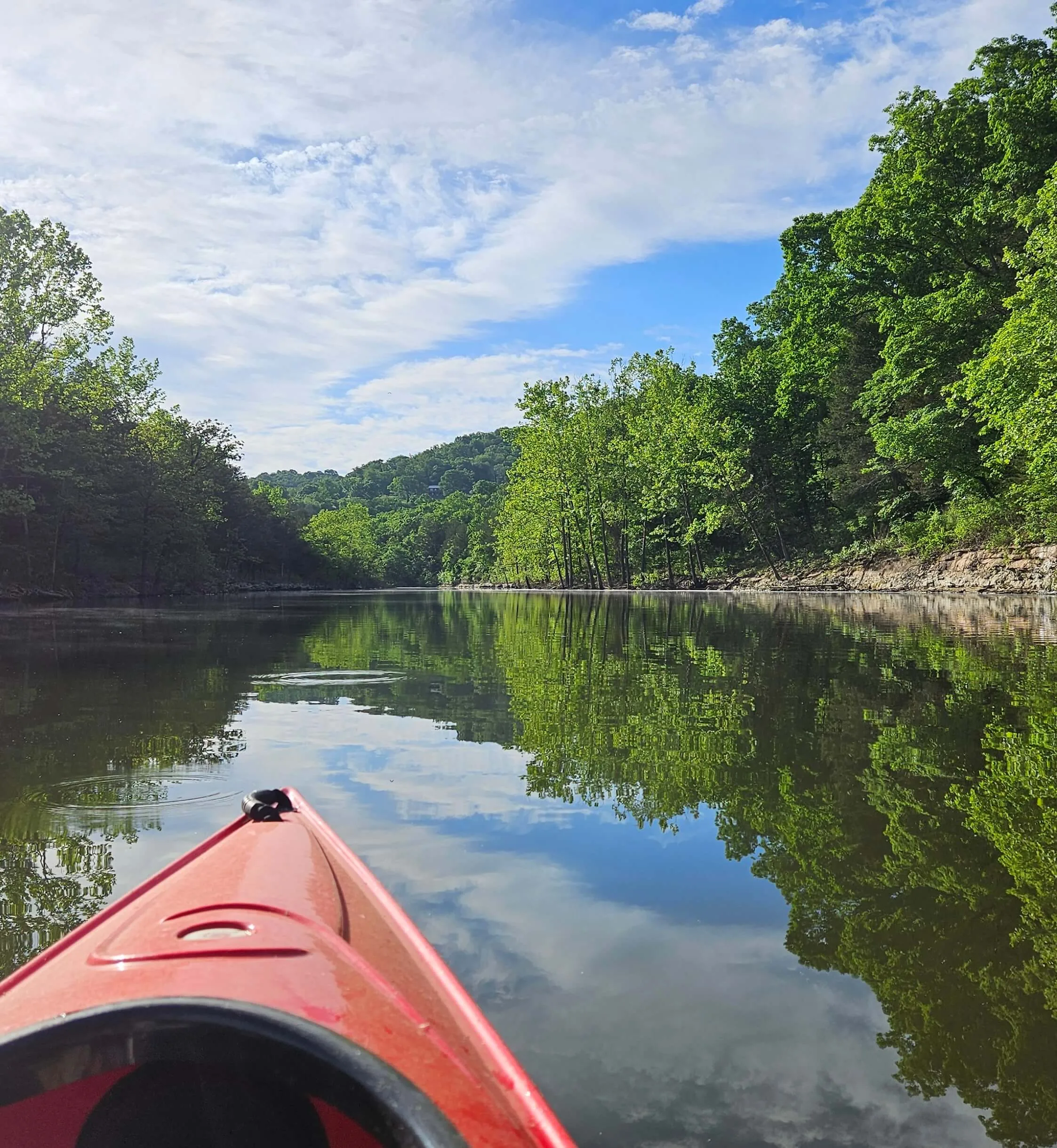
Residents and businesses around Table Rock Lake know the lake as a vital waterbody of economic and recreational significance for the State of Missouri. The lake supports power generation, flood control, wildlife habitat, and economic growth for local communities thanks to its popular recreation and tourism opportunities. With more than 800 miles of shoreline and millions of annual visitors, the lake is a cornerstone of the Ozarks’ economy. But like many highly frequented waterbodies, it faces water quality concerns from nutrient pollution, sediment, and pressures from rapid urban development.
To address these challenges, H2Ozarks is partnering with the Ozarks Environmental and Water Resources Institute (OEWRI) at Missouri State University to develop a watershed management plan for the Table Rock Lake watershed. This plan will identify water quality concerns and outline voluntary practices to reduce pollution and protect the lake.
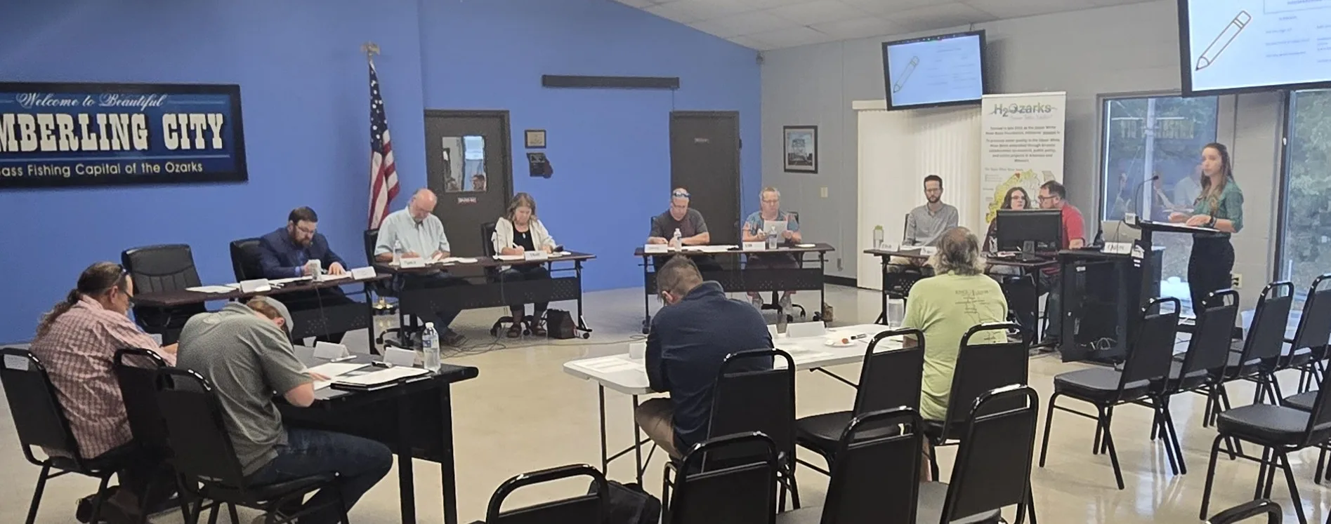
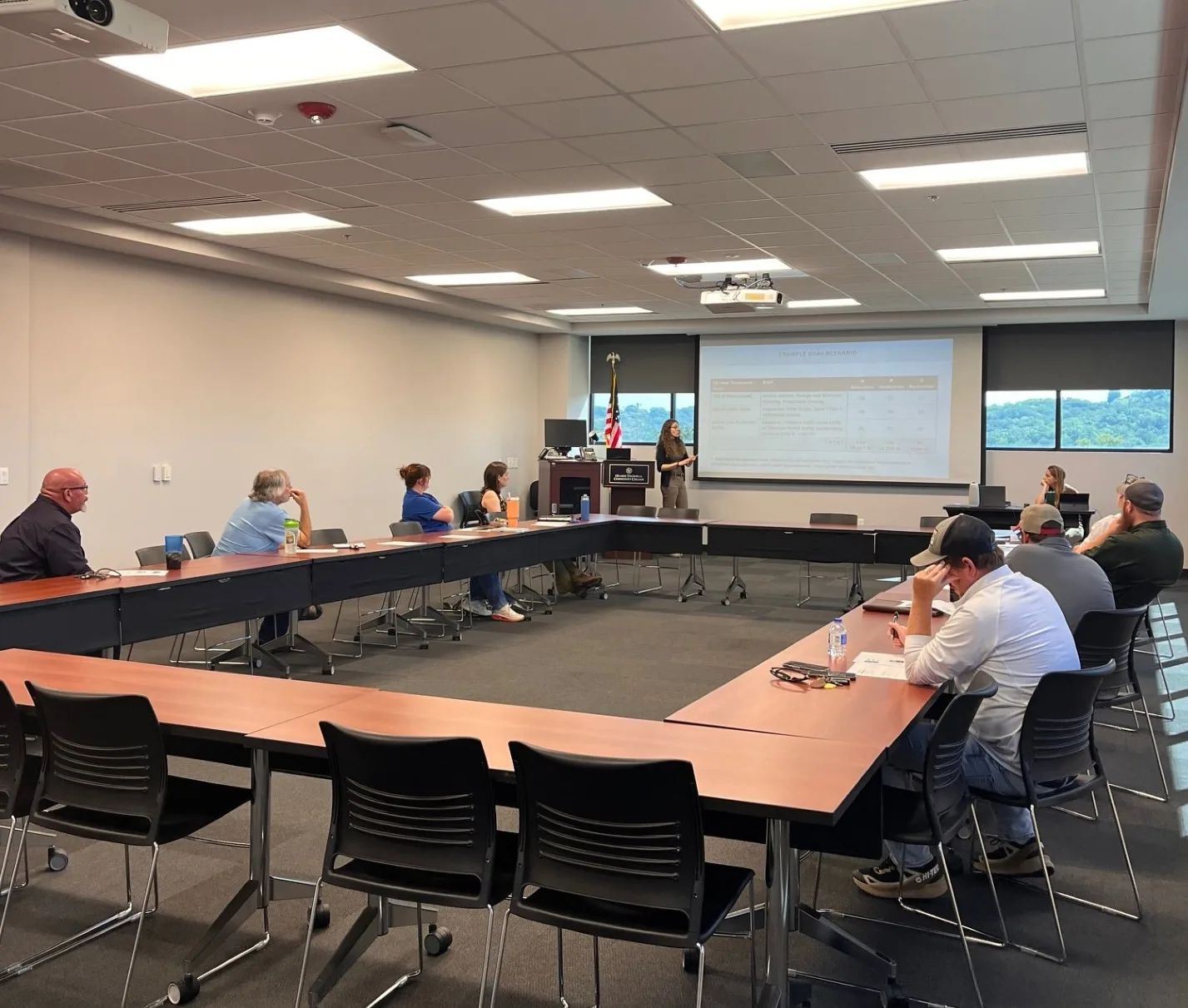
This watershed management plan is currently in development. A key part of the planning process is to hear from local communities about their concerns and priorities regarding water quality. We believe that the best water quality solutions come from the communities who live, work, and play in the watershed. That means that we want to hear from you! See how you can make your voice heard below.
Once the plan is completed, it will be submitted to the United States Environmental Protection Agency (EPA) for approval. Once approved, the plan will serve as a roadmap for protecting and improving Table Rock Lake. It is also an avenue to pursue grant funding to implement the plan’s solutions.
This project runs from November 2023 to December 2026. By working together now, we can ensure that Table Rock Lake remains a clean, vibrant resource for recreation, aquatic life, and the Ozarks’ economy for generations to come.
This project was made possible through a grant from the Missouri Department of Natural Resource’s 319 Program for Non-Point Source Pollution Control, supported by the United States Environmental Protection Agency.


